Expert Advice.

Quality Service.

Home of Everything 4WD

The Kimberley Map – Hema Maps

Brand:Hema Maps

$14.95

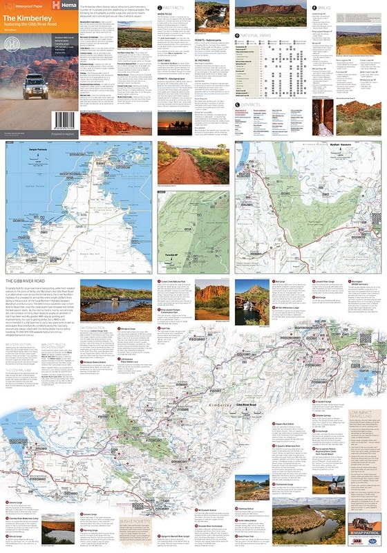
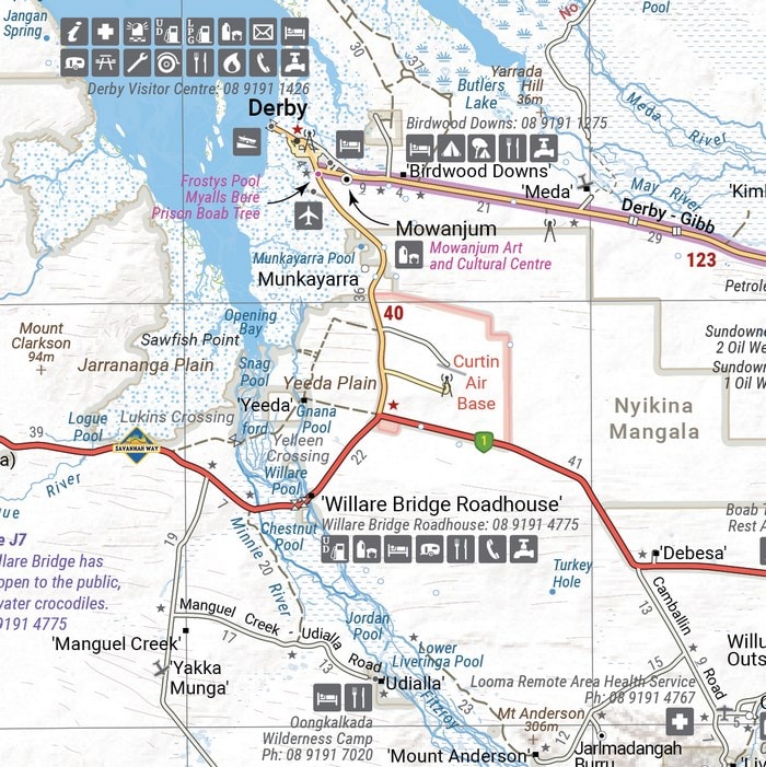
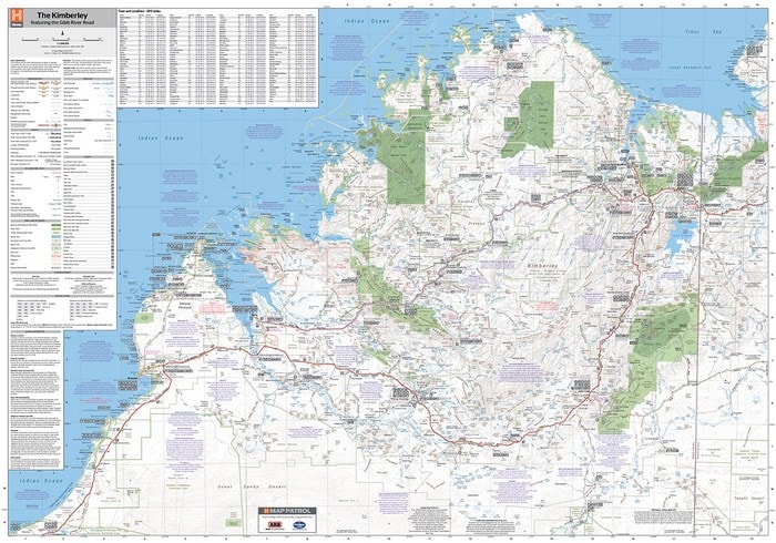
A regional map of the Kimberley that features the iconic Gibb River Road. On the reverse are inset maps for Purnululu National Park, the Dampier Peninsula and the Parry Creek area. There is also extensive drive detail and trip coverage for the Gibb River Road.

Only 1 left in stock (can be backordered)

9781876413705 Category:
SHARE

– Waterproof paper
– Detailed 4WD tracks
– National parks
– Camping areas
– GPS surveyed roads & tracks
– This new edition of Hema’s best-selling Kimberley map features our latest mapping and points of interest in a stunning new cartographic style. It combines Hema’s entire database of remote roads and 4WD tracks with touring points of interest and topographic information.

This waterproof regional map of the Kimberley features the Gibb River Road. On the reverse are inset maps for Purnululu National Park, the Dampier Peninsula and the Parry Creek area.

Detailed trip coverage and drive detail for the Gibb River Road is featured as well, with inset mapping covering the journey and corresponding text to guide explorers.

Also included is national park information and relevant contact details for pre-trip planning and use on the road or track.

Weight 1 kg
Dimensions 30 × 20 × 2 cm
ACCOUNT
Wishlist
Wishlist
Login
Create an account


Your personal data will be used to support your experience throughout this website, to manage access to your account, and for other purposes described in our privacy policy.

Password Recovery

Lost your password? Please enter your username or email address. You will receive a link to create a new password via email.


TOP
Your Shopping Cart 0
{{response_message}}

Shipping address:

{{get_address_one}}

{{get_address_two}}

{{get_address_city_info}}

{{get_address_postcode}}

Please update your shipping address on the checkout page to see update here.
Added to wishlist!
PRODUCTS
SERVICES
BUILDS

Motion Metrics Mine Spec Build

M4C Ford Ranger