Expert Advice.

Quality Service.

Home of Everything 4WD
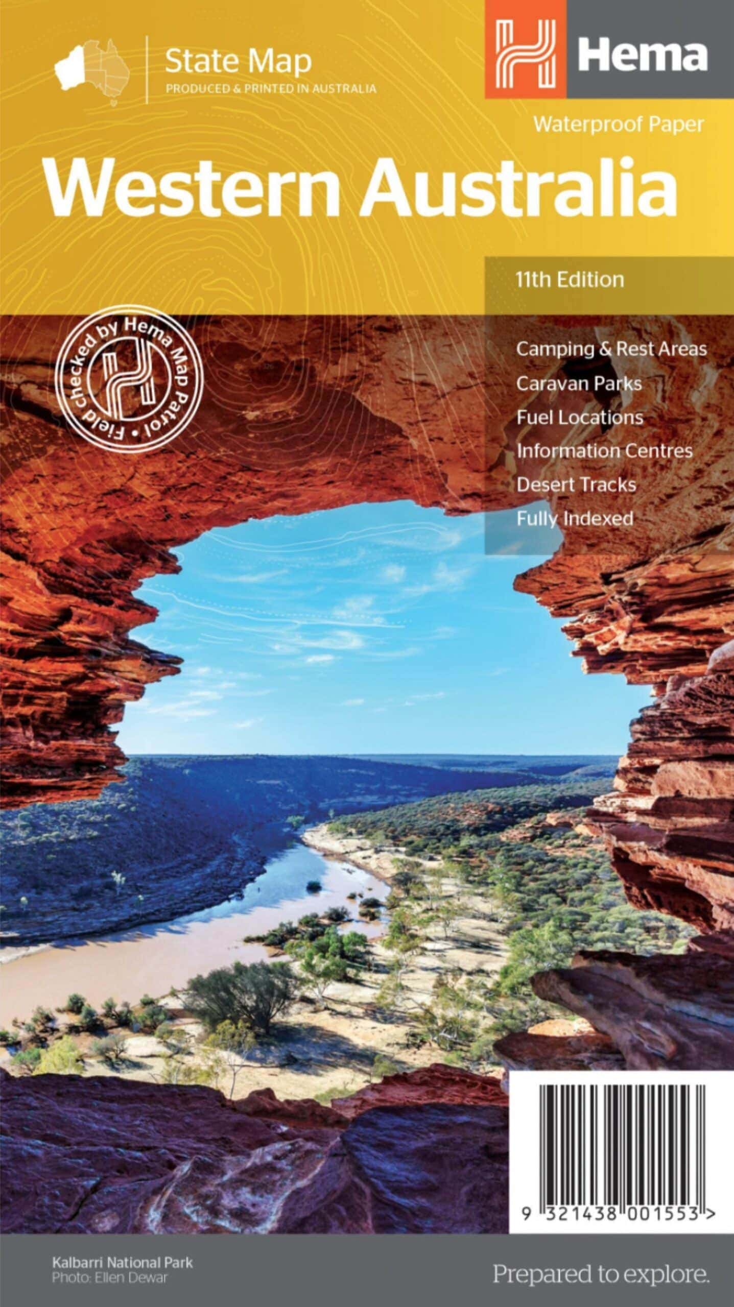
Western Australia State Map – Hema Maps

Brand:Hema Maps

$14.95

A state touring map of Western Australia (WA) featuring:
– Camping and rest areas
– Caravan parks
– Fuel locations
– Information centres
– Desert tracks
– Full index
– Waterproof paper

Only 2 left in stock (can be backordered)

9321438001553 Category:
SHARE

On the reverse side of the maps are the CBD and through road maps of Perth, plus inset maps of Leeuwin-Naturaliste National Park, Cape Range National Park, Nambung National Park, Francois Peron National Park, Purnululu National Park, Walpole-Nornalup National Park and Karijini National Park. Also included are listed national parks and information centres within Western Australia.

Weight 1 kg
Dimensions 14 × 25 × 3 cm
ACCOUNT
Wishlist
Wishlist
Login
Create an account


Your personal data will be used to support your experience throughout this website, to manage access to your account, and for other purposes described in our privacy policy.

Password Recovery

Lost your password? Please enter your username or email address. You will receive a link to create a new password via email.


TOP
Your Shopping Cart 0
{{response_message}}

Shipping address:

{{get_address_one}}

{{get_address_two}}

{{get_address_city_info}}

{{get_address_postcode}}

Please update your shipping address on the checkout page to see update here.
Added to wishlist!
PRODUCTS
SERVICES
BUILDS

Streamline Connect Mine Spec Builds

Chelsea’s Facelift LC76 Fit Out So Far